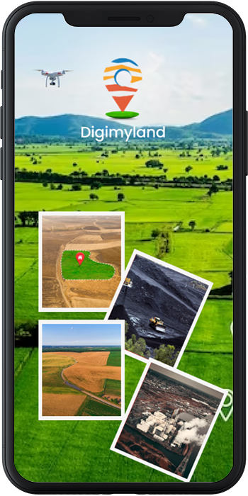
DigimyLand is a promising product. Help Client to digitize their land and properties records as well as Geo map the same. Using the latest remote piloted aerial mapping technology to Geo map the land and properties information. Designed in such a way that a Client can access each and every details related to its land and properties assets in complete respect. Help to identify the anomaly between actual land and properties area as per documents versus area as per geo mapping. App is accessible on Android, iOS & Web app also.
Land records are essential for managing land Ownership and Property rights, this can be use for planning, development and Taxation, Digimyland is a tool which can be used to manage land record in a proper, Siloed system, with the following benefit:

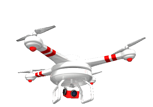
The usage of drone mapping (which is also called remotely piloted aerial mapping) is growing at an incredible pace as the technology provided by the same is limitless.
We provide the services for valuation of your land on a short notice with an intention to provide all land related services under one roof. It is important to know the value of the property for the purpose of mergers,
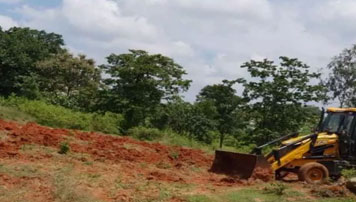
Owning or buying a property is a dream for many, whether for investment purposes or for end usage. However, you can get into a land encroachment problem if your land is unattended or vacant.

For the ease of DigiMyLand subscribers, we provide the service of financing against the land or property. Our subscriber can simply click on the value - added service tab, upload the specified documents & our back - end team will work with various financial institutions to arrange the financing at the best possible terms.

We provide the services for valuation of your land on a short notice with an intention to provide all land related services under one roof. It is important to know the value of the property for the purpose of mergers,

It is important to know if your land documents are complete in all respect, the title of the land is in your name without any adverse claim to it, possession of the property is intact etc. Our legal services help you getting your land documentation valid as per law as well as handling other legal matter related to it..

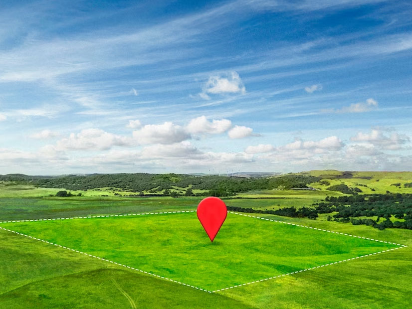
Land geotagging, also known as georeferencing or geotagging of land parcels, involves associating geographic coordinates (latitude and longitude) with specific pieces of land or property. This process allows for precise location identification and mapping of individual land parcels,
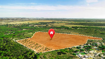
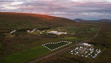
Land mapping, also known as land surveying or cadastral mapping, is the process of accurately measuring, defining, and representing the geographic boundaries and features of parcels of land. including land management, property ownership
Land analytics, also known as land data analytics or spatial analytics, involves the use of data analysis techniques and geographic information systems (GIS) to gain insights and make informed decisions related to land use, land management,
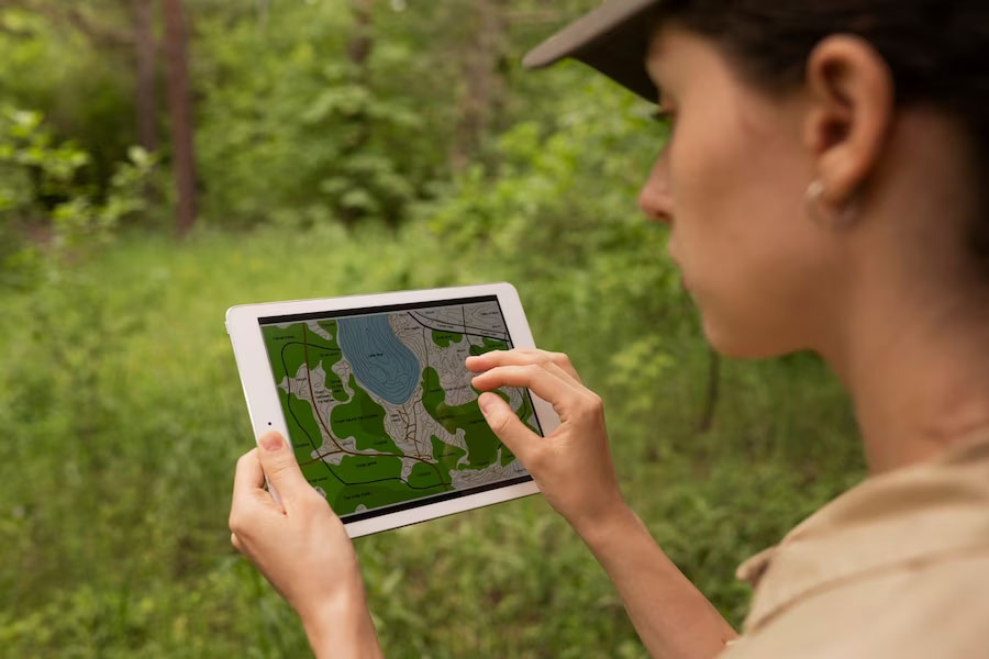
A digital geotagging and land mapping mobile app is an application that allows users to tag and map specific geographic locations and land features using their mobile devices. These apps utilize the built-in GPS capabilities of smartphones or tablets to capture precise location data and provide mapping functionalities. Here's some information about digital geotagging and land mapping mobile apps:
Geotagging Functionality: Geotagging refers to the process of attaching geographical information, such as coordinates, to digital content like photos, videos, or notes. A geotagging mobile app enables users to capture and save this location data automatically or manually while creating content. Annotation and Notes: Users can add annotations, descriptions, or notes to the geotagged locations, providing additional information about the land or points of interest. This helps in documenting details, such as land boundaries, vegetation types, or specific landmarks


We’ve been lucky to collaborate with a long list of customers, located in and out of the country. Thanks to them we have grown as professionals.


I used to be worried about the security of my land records. But Digimyland uses state-of-the-art security measures to protect my data. I know that my records are safe and secure, and I can relax knowing that they're always accessible.

I used to have a lot of trouble tracking down the right people to handle land transactions. But Digimyland makes it easy to identify the good service providers and get their reports in time. This has saved my lot of time and frustration

I used to be afraid of making mistakes when I was dealing with land records. But Digimyland user-friendly interface makes it easy to use even for people who aren't familiar with land records. I'm much more confident in my ability to handle land transactions now

Digimyland has made it so much easier for me to manage my land. I can now spend my time on more important things, knowing that my land records are in good hands
I used to be worried about the security of my land records. But Digimyland uses state-of-the-art security measures to protect my data. I know that my records are safe and secure, and I can relax knowing that they're always accessible.
I used to be afraid of making mistakes when I was dealing with land records. But Digimyland user-friendly interface makes it easy to use even for people who aren't familiar with land records. I'm much more confident in my ability to handle land transactions now
How to Geo Tag my property?
What type of properties can be Geo Tagged?
Amount deducted from my bank, but subscription plan not updated. Help me?
When will I get my report on Land & Property details after I submit my request and pay the fee?
What are the charges for survey work requested?
I used to spend hours searching through paper records to find the information I needed about my land. But since I started using Digimyland, I can access all of my land records with just a few clicks. It's so much easier and faster, and I'm much more confident that I have accurate information